


Stanthorpe Queensland
At the heart of the Granite Belt, Stanthorpe gives easy access to big sky panoramas, spectacular countryside dotted with precariously balancing prehistoric granite boulders and a generally cooler, temperate climate.
Previously known as Quart Pot Creek, a mining rush in 1872 gave Stanthorpe its name: stannum is Latin for tin and thorp is English for village. The town of Stanthorpe (pop. 5500) is now the beating heart of the Granite Belt with a rich multicultural and agricultural heritage, and a cosmopolitan mix of residents, backpackers and travellers.
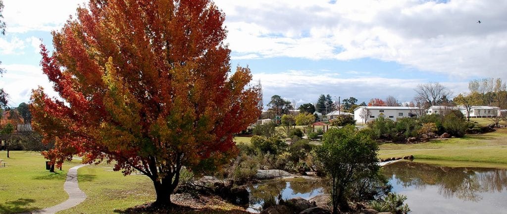
Flowing through the town is the beautiful Quart Pot Creek, with more than 5km of walking and cycling tracks and great picnic and BBQ facilities. In Stanthorpe’s main CBD, you will discover an amazing range of cafés, shops, gift stores and an art gallery.
Enjoy our European traditions; sit and relax in the Stanthorpe Piazza, with boutique coffee in hand, under the famous Roll Up Tree public art piece and watch the world go by.
Stanthorpe is an attractive rural service centre set in the middle of a rich, mixed farming area where rural activities range from vineyards, wineries and orchards to sheep and cattle grazing.
Stanthorpe is unusually cool for Queensland. In winter the night time temperatures in the town often fall below zero – the average minimum temperature for July is 0.3°C (there’s even an occasional winter snow-fall!).
Today the district is known for its cold climate apples, grapes and stone fruit as well as sheep and cattle grazing.
Location
Stanthorpe is located on the New England Highway 217 km south-west from Brisbane via Warwick. It is 57 km north of Tenterfield and 811 m above sea level.
 Own or work here?
Claim Now!
Claim Now!
Own or work here?
Claim Now!
Claim Now!
Contact with business owner
 Your request has been submitted successfully.
